| WHERE IS YOUR ARUBA
MAP? |
| It seems as though most
persons would lived in Lago Colony in the 40's, 50's & 60's have the
Aruba Map created by photographer
Don
Blair and, at the time, his girlfriend, Bettina Steinke, who later
became his wife and went on to make a name for herself as a western
artist, primarily painting portraits of American Indians.
|
|
Martha Byington suggested that
people send in photos of where they hang their Aruba Map. She sent
out emails requesting people send in photos to the web site, this is the
results thus far. Take a photo of your Aruba map and send it in
and I will add it to the list. |
Marca
van Ogtrop Piehuta map hangs in little a cottage that she and
her husband call Aruba Too in Bethany Beach, Delaware.
In the photo below the cactus lamp was a gift to her dad from
the Board of San Pedro Hospital in thanks for his work in Aruba
(it has a silver inscription on the trunk); I don’t think I’ve
ever seen another cactus lamp like this!---with a hand-made hemp
lampshade (like the hemp on the big docks!); made by an Aruban
man (Marca does not know his name, unfortunately).
|
 |
|
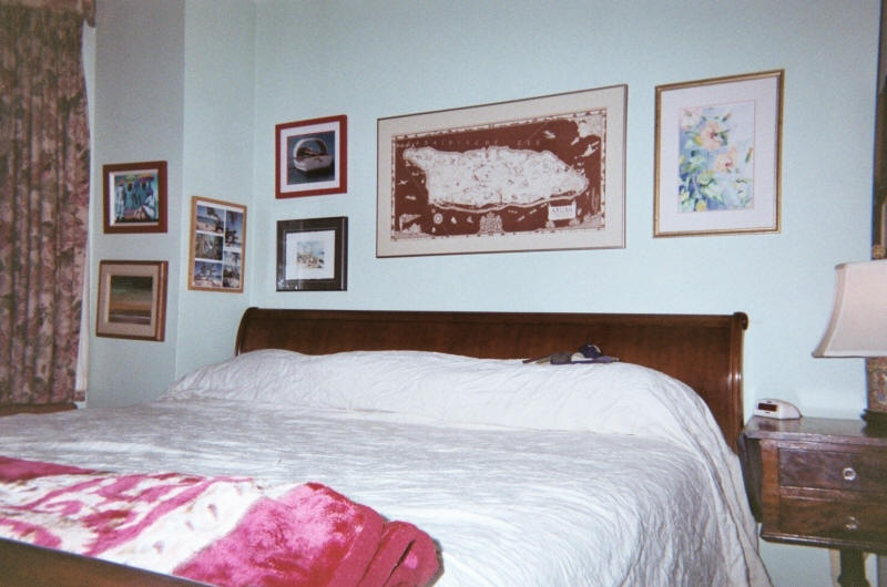
Martha Byington writes: Here is a photo of my bedroom with
the Aruba map above my bed. To the left of the map as you are
facing it is a photo of an Aruban fishing boat by Aruba
photographer, Diane Keijzer, and below that photo is a water color
by Jane Hochstuhl Getty, also of Aruba fishing boats.
|
 |
|
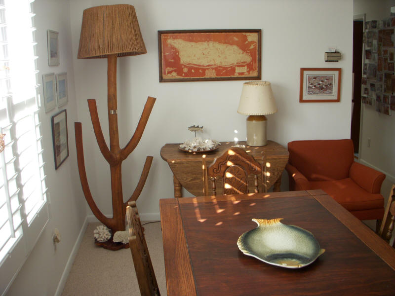
Jack
Watkins also sent in the photo of the map and
other Aruba items that has in his family room in Phoenix.
Jack
also sent in other photos of other Aruba items that I was unable to
download.
|
 |
|
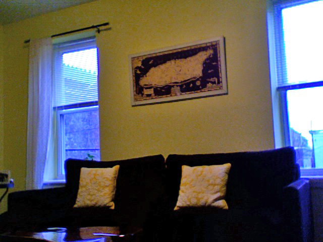
| The photo's not great but
here's my Aruba map - in the living room of my first home, here in
Philadelphia, Pennsylvania. I'm Caroline Bean, daughter of
Elizabeth van Ogtrop Bean (was Liz in Aruba). Mom was born in '48 and
went to Lago. Most of my cousins all have this map. |
 |
|
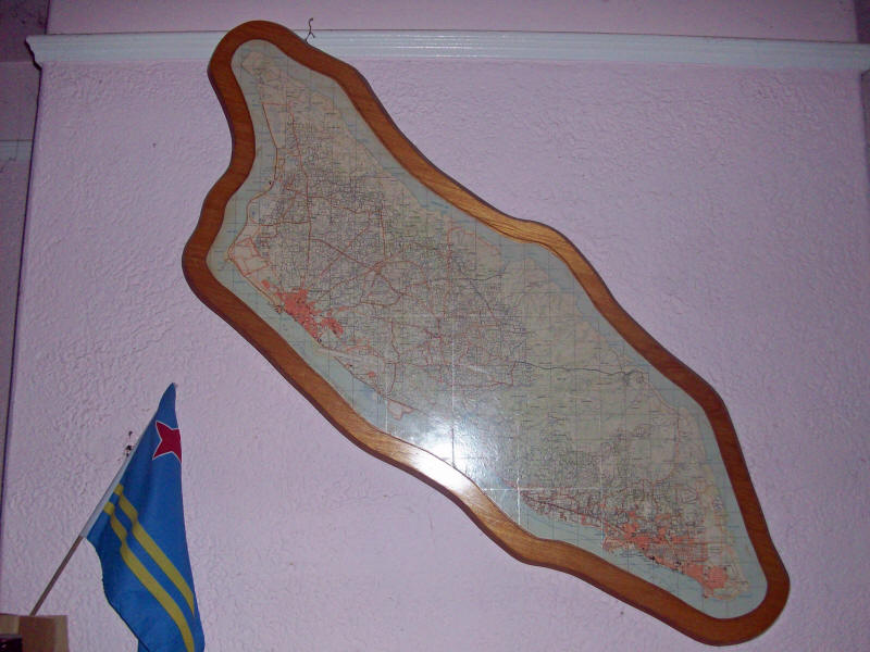
| This is a
different wall map of Aruba that my family got in the mid to late
1960's. It is an old road map (my best guess is that it is a 1965 map)
that is mounted and embossed on native hardwood (kwihi?). It shows quite
a few details that help to date it, for instance, the runway at Princess
Beatrix has been extended for jets, which means that it is from 1964 or
later, but the only hotels on the beaches are the Aruba Caribbean and
the Basi Ruti, which means that it must be before 1966, when the
Manchebo opened. A lot of households in the colony had this same map
during the late 1960's and I am fortunate to have possession of ours. It
hangs on my mantle next to an Aruban flag. Charlie Ratcliff |
 |
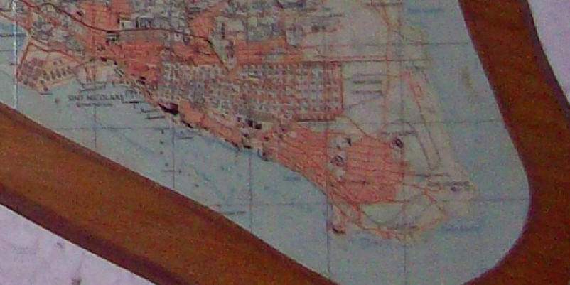
| I blew up the east end of the
map to show the detail as well as the wood the frame is made from.
The blowup is not that clear but you can see that the map has a lot of
detail. Dan Jensen |
 |
|
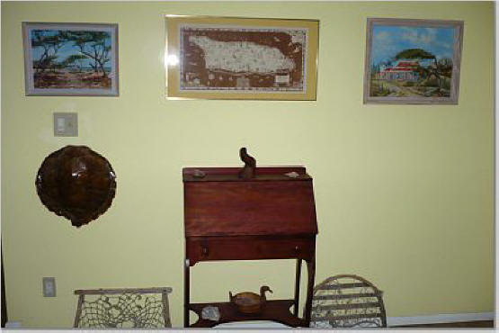
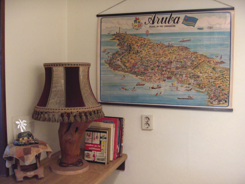
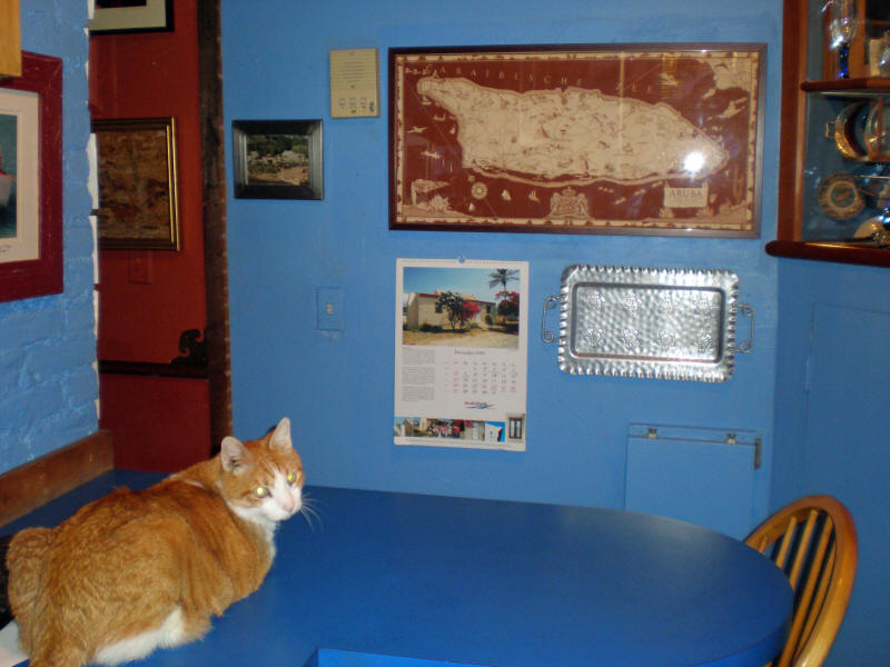
This Aruba
Map comes from Anton "Toon" Segers, the drawing/design was made by Gerard
Prevoteau and Jacques Moureau around 1978, they were from Canada.
The picture
is taken in Toon's kitchen corner, notice the cactus lamp, small
cunucu house and the cookbook "smullen op zijn antilliaans".
Living in Holland makes this corner makes me feel at least a
little bit in Aruba every day.
|
 |
|
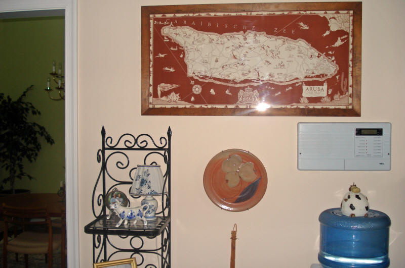
| Elsje va Ogtrop Bean writes; I
have attached a photo of my Aruba map. It is hanging in my kitchen in my
house in Chadds Ford, PA where I can see it every day. |
 |
|
| Our Aruba map
is hung proudly in our sunroom in Gaithersburg, Maryland....as you can
see it is watching over the many Christmas gifts that Santa left at our
house!
Heather & Mike Locraft
(Mike is Maria/Muff van Ogtrop Locraft's son |
 |
|
|
I believe you're collecting photos of the
Aruba Map hanging in homes around the world. I've attached a copy
of mine, if you are collecting. The sharp eyed viewer will see a
reflection in the right lower corner of a tourist plate of Aruba I
found in a thrift shop on 9th Street and Second Avenue in NYC.
Thanks for all your work.
Maryanne Byington
|
 |
|
| IF YOU HAVE A
MAP OF ARUBA HANGING ON YOUR WALL IN YOUR HOUSE SEND IT TO ME AND I WILL
ADD IT TO THE WEB PAGE. |